Research fields
What the system watches
Eight forecasting domains, from monsoon floods to tidal surge, backed by IWM's modelling of the region's water.
01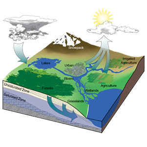




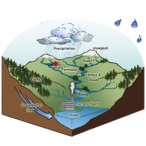

Basin Management
Catchment-scale water balance across the GBM system.
02Weather
Rainfall nowcasts and WRF numerical forecasts.
03Flash Flood
Rapid-onset warnings for the north-east haor rivers.
04Monsoon Flood
Seasonal river forecasts and inundation extent.
05Tide Prediction
Coastal water levels and tidal-fluvial interaction.
06Climate
CMIP6-based projections of future hydrology.
07FCDI
Flood control, drainage and irrigation performance.
08Haor Management
Wetland water regimes of the north-east basin.